

Ocean Engineering and Marine Sciences Faculty Publications
Document Type
Article
Publication Title
Scientific Reports
Abstract
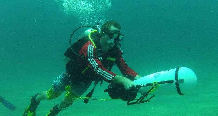
Ever since the first image of a coral reef was captured in 1885, people worldwide have been accumulating images of coral reefscapes that document the historic conditions of reefs. However, these innumerable reefscape images suffer from perspective distortion, which reduces the apparent size of distant taxa, rendering the images unusable for quantitative analysis of reef conditions. Here we solve this century-long distortion problem by developing a novel computer-vision algorithm, ReScape, which removes the perspective distortion from reefscape images by transforming them into top-down views, making them usable for quantitative analysis of reef conditions. In doing so, we demonstrate the first-ever ecological application and extension of inverse-perspective mapping—a foundational technique used in the autonomous-driving industry. The ReScape algorithm is composed of seven functions that (1) calibrate the camera lens, (2) remove the inherent lens-induced image distortions, (3) detect the scene’s horizon line, (4) remove the camera-roll angle, (5) detect the transformable reef area, (6) detect the scene’s perspective geometry, and (7) apply brute-force inverse-perspective mapping. The performance of the ReScape algorithm was evaluated by transforming the perspective of 125 reefscape images. Eighty-five percent of the images had no processing errors and of those, 95% were successfully transformed into top-down views. ReScape was validated by demonstrating that same-length transects, placed increasingly further from the camera, became the same length after transformation. The mission of the ReScape algorithm is to (i) unlock historical information about coral-reef conditions from previously unquantified periods and localities, (ii) enable citizen scientists and recreational photographers to contribute reefscape images to the scientific process, and (iii) provide a new survey technique that can rigorously assess relatively large areas of coral reefs, and other marine and even terrestrial ecosystems, worldwide. To facilitate this mission, we compiled the ReScape algorithm into a free, user-friendly App that does not require any coding experience. Equipped with the ReScape App, scientists can improve the management and prediction of the future of coral reefs by uncovering historical information from reefscape-image archives and by using reefscape images as a new, rapid survey method, opening a new era of coral-reef monitoring.
DOI
https://doi.org/10.1038/s41598-024-59123-2
Publication Date
4-17-2024
Recommended Citation
Ferris, Z., Ribeiro, E., Nagata, T. & van Woesik, R. ReScape: transforming coral-reefscape images for quantitative analysis. Sci Rep 14, 8915 (2024)
Included in
Environmental Monitoring Commons, Marine Biology Commons, Software Engineering Commons, Terrestrial and Aquatic Ecology Commons, Theory and Algorithms Commons
Comments
Open Access This article is licensed under a Creative Commons Attribution 4.0 International License, which permits use, sharing, adaptation, distribution and reproduction in any medium or format, as long as you give appropriate credit to the original author(s) and the source, provide a link to the Creative Commons licence, and indicate if changes were made. The images or other third party material in this article are included in the article’s Creative Commons licence, unless indicated otherwise in a credit line to the material. If material is not included in the article’s Creative Commons licence and your intended use is not permitted by statutory regulation or exceeds the permitted use, you will need to obtain permission directly from the copyright holder. To view a copy of this licence, visit http://creativecommons.org/licenses/by/4. 0/.