

Document Type
Conference Proceeding
Publication Title
Proceedings of SPIE - the International Society for Optical Engineering
Abstract
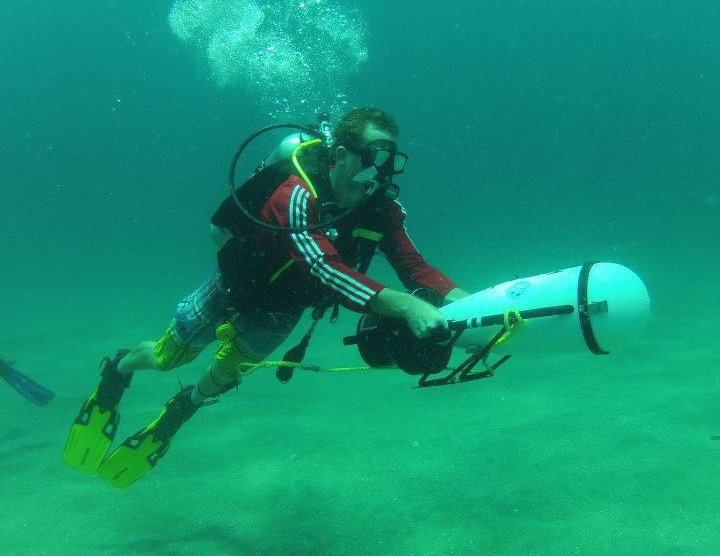
Protocol development for science based mapping of submerged aquatic vegetation (SAV) requires comprehensive ground truth data describing the full range of variability observed in the target. The Indian River Lagoon, Florida, extends along 250 km of the east central Florida coast adjacent to the Atlantic Ocean. The lagoon crosses the transition zone between the Caribbean and Carolinian zoogeographic provinces making it highly diverse. For large scale mapping and management of SAV four common and three uncommon species of seagrass (Tracheophyta) and three broad groups of macroalgae; red algae (Rhodophyta), green algae (Chlorophyta), and brown algae (Phaeophyta) are recognized. Based on technical and cost limitations we established twenty, 7-10 km long flight transects for collection of 1.2 m² spatial resolution hyperspectral imagery covering the length of the lagoon. Emphasis was placed on the area near the Sebastian River and adjacent Sebastian Inlet. Twenty six 40 m long ground truth transects were established in the lagoon using 1 m² white panels to mark each transect end. Each transect target was located in the field using high precision GPS. Transects were positioned to cover a range of depths, SAV densities, mixed and monotypic species beds, water quality conditions and general sediment types. A 3 m wide by 30 m long grid was centered on each transect to avoid spectral influences of the white targets. Water depth, species of seagrasses, estimates of vegetation cover percentage, estimates of epiphytic density, and measured canopy height were made for each 1 m² (n=90). This target based grid arrangement allows for identification and extraction of pixel based hyperspectral signatures corresponding to individual ground truth grid cells without significant concern for rectification and registration error.
DOI
10.1117/12.692354
Publication Date
9-28-2006
Recommended Citation
Hall, C. R., Bostater Jr., C. R., & Virnstein, R. W. (2006). Implementation of a ground truth process for development of a submerged aquatic vegetation (SAV) mapping protocol using hyperspectral imagery. Paper presented at the Proceedings of SPIE - the International Society for Optical Engineering, 6360 doi:10.1117/12.692354