

Document Type
Article
Publication Title
Proceedings of SPIE - the International Society for Optical Engineering
Abstract
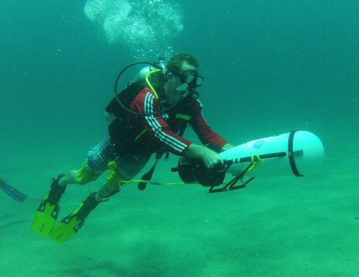
Imagery is presented along with calibration and testing procedures of several airborne imaging systems. The low altitude airborne systems include a cooled hyperspectral imaging system with 1024 spectral channels and 1375 spatial pixels. The hyperspectral imaging system is collocated with a full resolution high definition video recorder for simultaneous HD video imagery, 12.3 megapixel digital images for multispectral "sharpening" the hyperspectral imagery, or large frame 9 inch film cameras yield scanned aerial imagery with approximately 2200 by 2200 pixel multispectral imagery. Two high spectral (252 channels) and radiometric sensitivity solid state spectrographs are used for collecting upwelling radiance (sub-meter pixels) and a downwelling irradiance using a fiber optic irradiance sensor. These sensors are utilized for cross calibration and independent acquisition of ground or water reflectance signatures. The upwelling spectrograph is integrated to collect signatures collocated with a 12.3 megapixel Nikon D2Xs with 5 HZ WAAS GPS input for mixed pixel analysis in conjunction with the other sensing systems. In addition to the airborne hyperspectral sensors, traditional photogrammetric imagery can be collected from dual 9 inch frame cameras capable of using a combination of panchromatic, color or color infrared film types. The panchromatic film can be collected with special filters designed to create spectral windows, such as the "red edge" which is useful for land or shallow submerged vegetation and live coral detection. The 9 inch film negatives are scanned to produce over 250 megapixel scanned multispectral imagery for sub pixel assessments and for image fusion sharpening of the hyperspectral imagery. The scanned imagery covers larger spatial regions and is thus useful for geospatial registration, rectification, and spatial sharpening of the hyperspectral imagery along flight lines. All of the imagery allow for modern research in the use of sun and sky glint regions in imagery to identify water surface wave field characteristics as well as oil slicks. The systems described provide unique data sets of for modern airborne or satellite remote sensing algorithm development and testing of radiative transfer models useful in studying the environment at small spatial scales.
Publication Date
10-27-2010
Recommended Citation
Bostater, Charles R.; Jones, James; Frystacky, Heather; Kovacs, Mate; and Jozsa, Oszkar, "Integration, Testing and Calibration of Imaging Systems for Land & Water Remote Sensing" (2010). Ocean Engineering and Marine Sciences Faculty Publications. 38.
https://repository.fit.edu/oems_faculty/38