

Ocean Engineering and Marine Sciences Faculty Publications
Document Type
Conference Proceeding
Publication Title
Proceedings of SPIE - the International Society for Optical Engineering
Abstract
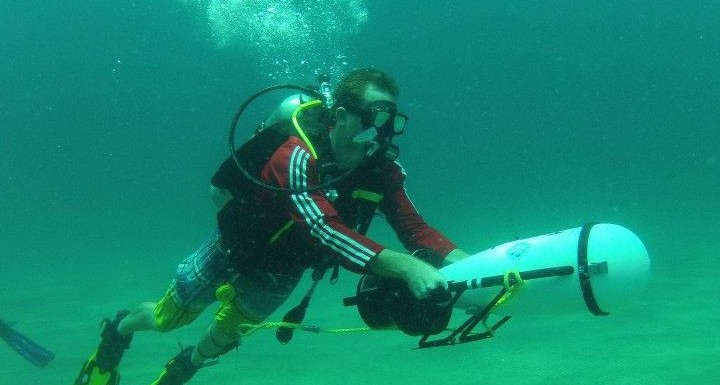
An optimized data fusion methodology is presented and makes use of airborne and vessel mounted hyperspectral and multispectral imagery acquired at littoral zones in Florida and the northern Gulf of Mexico. The results demonstrate the use of hyperspectral-multispectral data fusion anomaly detection along shorelines and in surface and subsurface waters. Hyperspectral imagery utilized in the data fusion analysis was collected using a 64-1024 channel, 1376 pixel swath width; temperature stabilized sensing system; an integrated inertial motion unit; and differential GPS. The imaging system is calibrated using dual 18 inch calibration spheres, spectral line sources, and custom line targets. Simultaneously collected multispectral three band imagery used in the data fusion analysis was derived either a 12 inch focal length large format camera using 9 inch high speed AGFA color negative film, a 12.3 megapixel digital camera or dual high speed full definition video cameras. Pushbroom sensor imagery is corrected using Kalman filtering and smoothing in order to correct images for airborne platform motions or motions of a small vessel. Custom software developed for the hyperspectral system and the optimized data fusion process allows for post processing using atmospherically corrected and georeferenced reflectance imagery. The optimized data fusion approach allows for detecting spectral anomalies in the resolution enhanced data cubes. Spectral-spatial anomaly detection is demonstrated using simulated embedded targets in actual imagery. The approach allows one to utilize spectral signature anomalies to identify features and targets that would otherwise not be possible. The optimized data fusion techniques and software has been developed in order to perform sensitivity analysis of the synthetic images in order to optimize the singular value decomposition model building process and the 2-D Butterworth cutoff frequency selection process, using the concept of user defined "feature areas". The data fusion "synthetic imagery" forms a basis for spectral-spatial resolution enhancement for optimal band selection and remote sensing algorithm development within "spectral anomaly areas". The methods are applied to imagery intended to support Deepwater Horizon oil spill remediation and recovery efforts. Sensitivity analysis demonstrates the data fusion methodology is most sensitive to (a) the pixels and features used in the SVD model building process and (b) the 2-D Butterworth cutoff frequency optimized by application of K-S nonparametric test. The optimized image fusion approach is transferable to sensor data acquired from other platforms, including autonomous underwater vehicles using near real time processing.
DOI
10.1117/12.919310
Publication Date
5-8-2012
Recommended Citation
Bostater, C. R., & Frystacky, H. (2012). Remote sensing of shorelines using data fusion of hyperspectral and multispectral imagery acquired from mobile and fixed platforms. Paper presented at the Proceedings of SPIE - the International Society for Optical Engineering, , 8390 doi:10.1117/12.919310